搜索结果: 1-3 共查到“aerial surveys”相关记录3条 . 查询时间(0.091 秒)

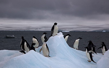
Autonomous multi-drone aerial surveys of Antarctic penguin colonies(图)
Autonomous multi-drone aerial surveys Antarctic penguin colonies
2020/11/13
Scientist Mac Schwager at Stanford University, an aeronautics and astronautics researcher, learned that biologists were seeking a better way to image a large penguin colony in Antarctica. Schwage...
New methods for assessing Marbled Murrelet nesting habitat: Air photo interpretation and low-level aerial surveys
air photo interpretation Brachyramphus marmoratus habitat mapping habitat suitability
2010/8/31
This extension note summarizes the application of two new methods that were developed to assess the quality of forest habit that Marbled Murrelets (Brachyramphus marmoratus) use for nesting in British...

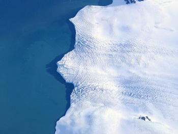
Peering Under the Ice of a Collapsing Polar Coast--Low-Level Aerial Surveys Aim to Understand Rapid Antarctic Melting(图)
the Ice of a Collapsing Polar Coast Low-Level Aerial Surveys Rapid Antarctic Melting
2009/12/10
Starting this month, a giant NASA DC-8 aircraft loaded with geophysical instruments and scientists will buzz at low level over the coasts of West Antarctica, where ice sheets are collapsing at a pace ...

