搜索结果: 1-15 共查到“知识库 水文地理学”相关记录521条 . 查询时间(2.906 秒)

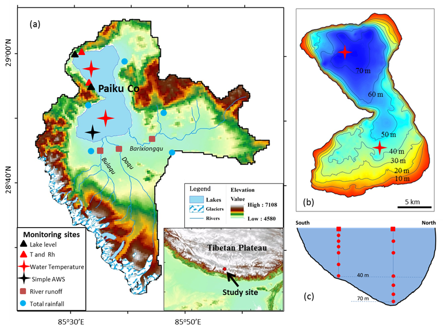
ESR:系统阐述青藏高原地气之间水热通量交换的时空变化规律(图)
青藏高原地气 水热通量交换 时空变化规律
2023/1/16
河海大学水文水资源学院水文学及水资源学科
河海大学水文水资源学院 水资源水文 环境水文 地貌水文 生态水文
2022/6/24
1952年,著名水文学家刘光文教授等在华东水利学院(河海大学前身)创建了我国第一个水文学及水资源学科。1981年首批获得学士、硕士和博士学位授予权,1988年被批准为国家重点学科(全国唯一),1990年获得世行重点学科建设项目的资助,1993年建成水资源开发利用国家专业实验室,1996年列入“211工程”重点学科建设项目,1997年联合国教科文组织通过专门议案,在河海大学设立国际水文水资源及环境培...

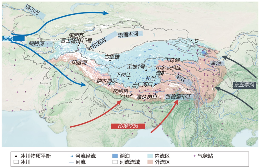
第二次青藏科考最新成果系统阐述亚洲水塔失衡(图)
青藏科考 第二次 系统阐述 亚洲水塔失衡
2023/1/16

HESS:水热通量相位差影响青藏高原湖泊水位季节变化(图)
水热通量相位差 青藏高原 湖泊水位 季节变化
2023/1/17
Consequences of wave-induced water motion to nearshore macroalgae
nearshore macroalgae water
2015/11/12
Consequences of wave-induced water motion to nearshore macroalgae。
Studies on Major Ion Chemistry and Hydrogeochemical Processes of Groundwater in Port Harcourt City, Southern Nigeria
Groundwater Port Harcourt City Nigeria
2015/8/14
Of recent, the rapid deterioration of groundwater quality in Port Harcourt, Southern Nigeria due to unregulated exploitation resulting from increasing growth in the oil and gas production activities h...
Assessment of Soil Loss Using WEPP Model and Geographical Information System
WEPP GIS Soil erosion Watershed
2015/8/14
Severe soil erosion has generally been regarded as a major cause of land degradation in arid and semi arid regions. A quantitative assessment of soil loss intensity is still scanty for developing appr...
Spatial and Tidal Variations of Physico-Chemical Parameters in the Lower Gangetic Delta Region, West Bengal, India
tidal condition Hooghly estuary
2015/8/14
The lower stretch of Gangetic delta in the Indian sub-continent is noted for its rich mangrove biodiversity, natural calamities, and livelihood-supporting matrix of millions of people and is the only ...
Accounting for instream lakes when interpolating stream water chemistry observations
geostatistics kriging stream water chemistry
2015/8/14
Direct monitoring of stream water chemistry is an increasingly important tool for securing stream water quality and assessing stream ecological functioning as it relates to overall ecosystem health. S...
Evaluation of total runoff for the Rio San Pedro sub-basin (Nayarit, Mexico) assessing their hydrologic response units
Runoff hydrologic response unit curve number land uses
2015/8/14
The Rio San Pedro sub-basin runoff was estimated using the curve number method (NRCS-CN) applied to hydrologic response units (HRU’s), derived from remote sensing and GIS analysis. The sub-basin (arou...
Erratic Monsoon, Growing Water Demand, and Declining Water Table
Monsoon Aravalli time series water table Geographic Information System GIS
2015/8/14
In India, water resources are governed by the southwest monsoon. The water demand is increasing day by day due to population growth, rapid urbanisation, and multiple cropping practices. Due to changin...
Technical and Institutional Evaluation of Geray Irrigation Scheme in West Gojjam Zone, Amhara Region, Ethiopia
Irrigation West Gojjam Zone Amhara Region
2015/8/13
The technical and institutional performance evaluation of Geray Irrigation Scheme was made in order to identify management practices for implementation to improve the system operation and the performa...
Extreme rainfall analysis and estimation of Probable Maximum Precipitation (PMP) by statistical methods over the Indus river basin in India
rainfall Probable Maximum Precipitation
2015/8/13
Annual extreme rainfall series of 1-3 day durations at stations located inside the Indus basin in India were subjected to statistical analysis in order to estimate point Probable Maximum Precipitation...
Development of a Multivariate Regression Model for Soil Nitrate Nitrogen Content Prediction
linear regression multivariate statistics nitrogen NPS soil moisture spatial analysis visualization
2015/8/11
Although soil nitrate nitrogen (N) is a nutrient source for crop, it could be a potential nonpoint pollution source to the environment when its content remains high with an inappropriate management. S...


